The Twins
Hike details:
Mileage: 6.5 miles round trip w/ 1,600 ft. elevation gain (from The Twins trailhead)
11.5 mile loop w/ 2,450 ft. elevation gain (from Charlton Lake trailhead)
Approximate hike time: 2 hours 50 minutes w/ an average pace of 2.3 mph
5 hours w/ an average pace of 2.3 mph (for the whole loop)
Difficulty: Moderate (the out and back hike) or difficult (the loop hike)
Trail usage: Low to medium (if it is PCT thru-hiker season, the PCT section might have a lot of people on it)
Highest elevation: 7,362 ft. Lowest elevation: 5,650 ft.
General location: 30 miles east of Oakridge - Deschutes National Forest
Accessible: Late June to mid-November
(Best time to go is late August, September, October and early November when the bugs have died down. In August you will find lots of ripe huckleberries along the trail).
Permits required: Northwest Forest Pass
Pit toilet at trailhead: No
Trail allows: Dogs, horses, bikes (only on the Metolious-Windigo section), camping
|
|
Description:
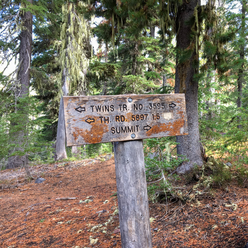
The Twins are two peaks that are over 7,000 feet tall near Waldo Lake, which offer some of the most expansive views in the area. There are two ways to do this hike, the shorter and more direct way takes you straight from The Twins trailhead at Road 5897 up to the summit via the Twin Peaks Trail #3595. This round trip route is a total of 6.5 miles. The other hike that you can do is an 11.5 mile loop via the Charlton Lake Trailhead and is described below.
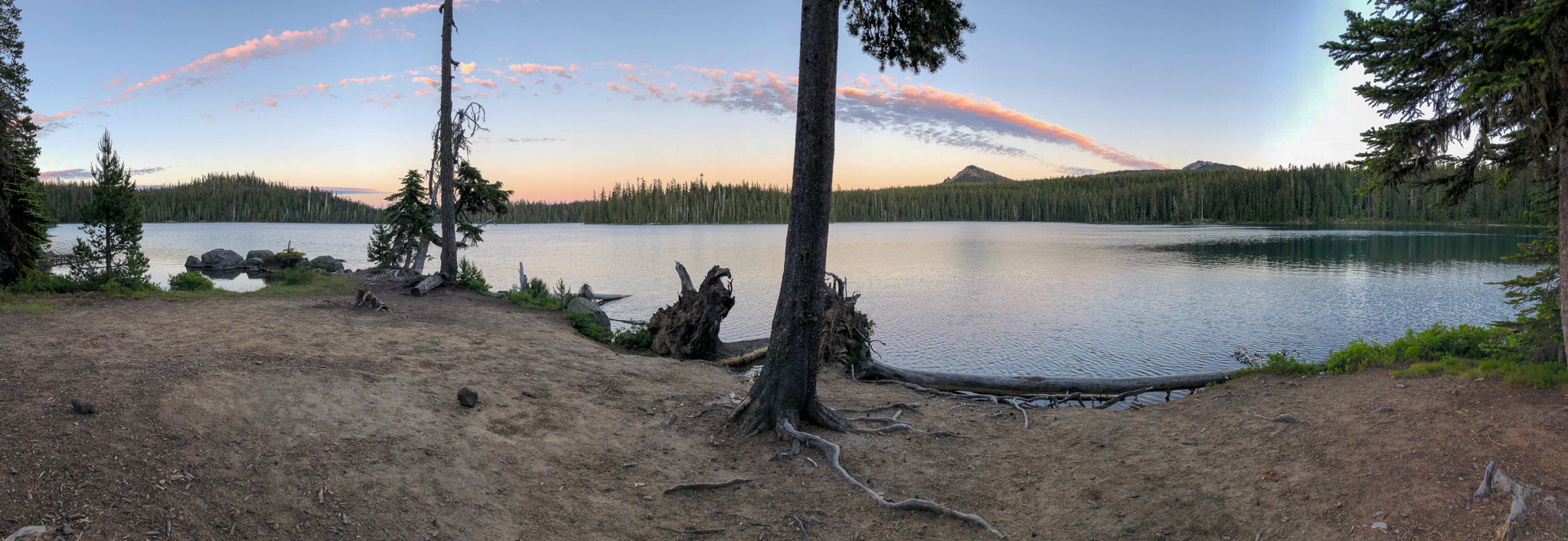
(sunset at Charlton Lake, July)
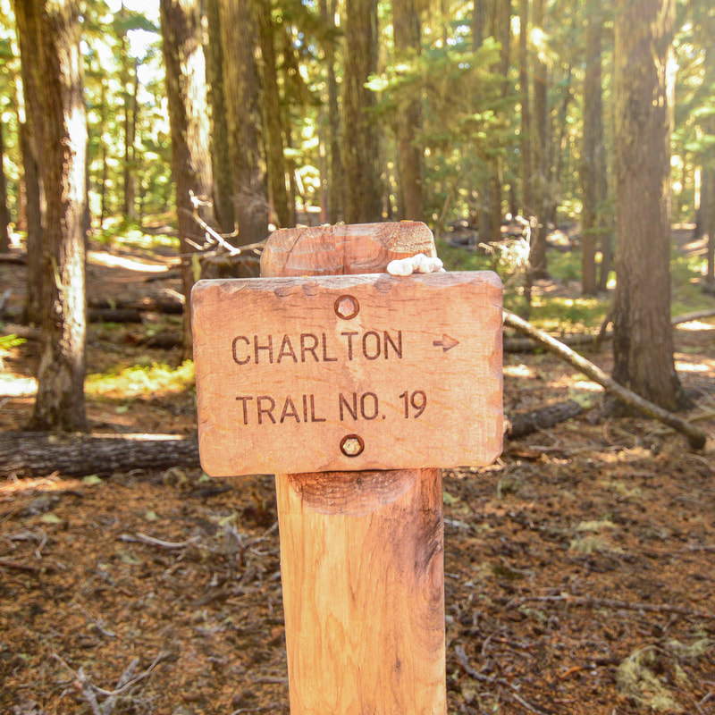
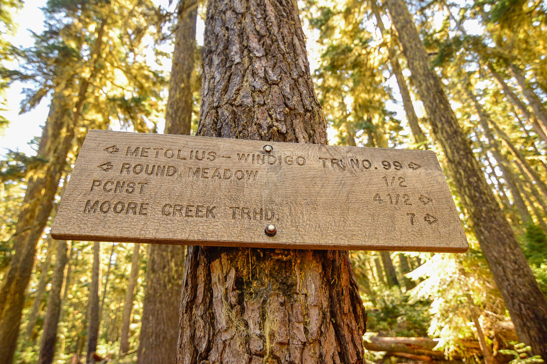
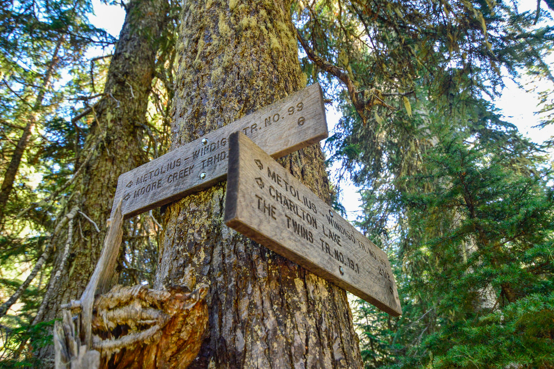
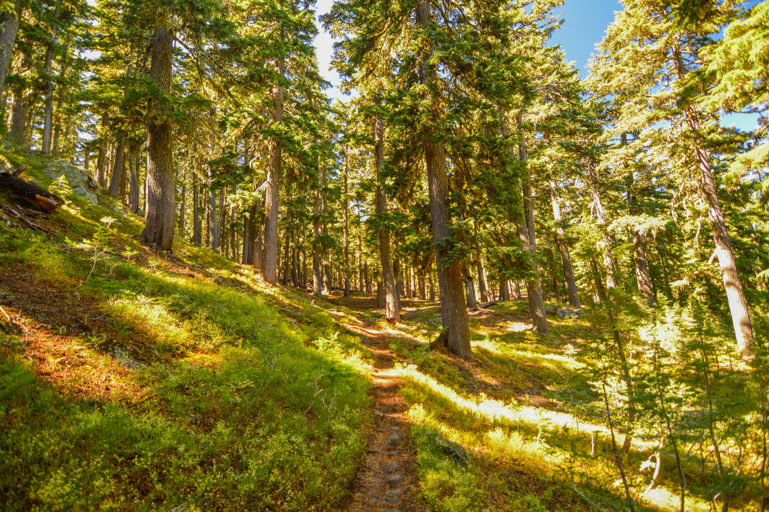
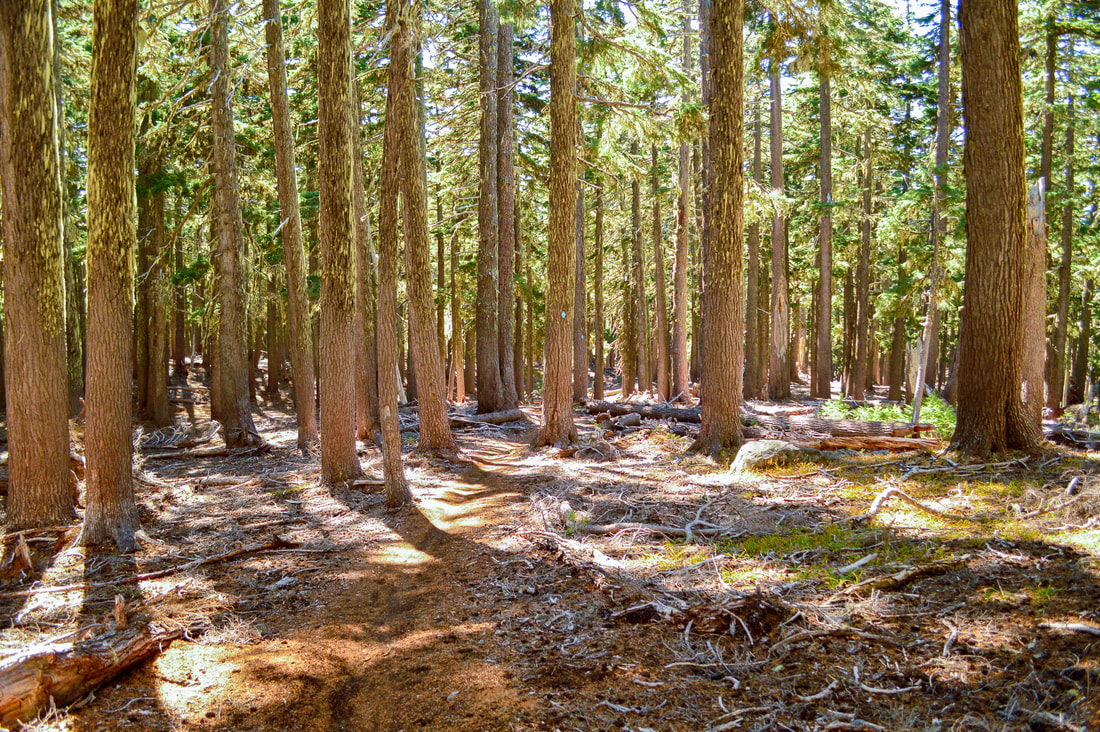
From the Charlton Lake Trailhead you will take the trail to the lakeshore and here you will see a trail junction where your loop will begin. Here you will stay left on the Charlton Trail #19 as it skirts the lakeshore for 0.56 miles. Then the trail starts heading uphill through the a beautiful mountain hemlock forest away from the lake. After 1.3 miles you will come to another trail junction. Keep right on the Metolious Windigo Trail.
|
(meadow with seasonal springs)
|
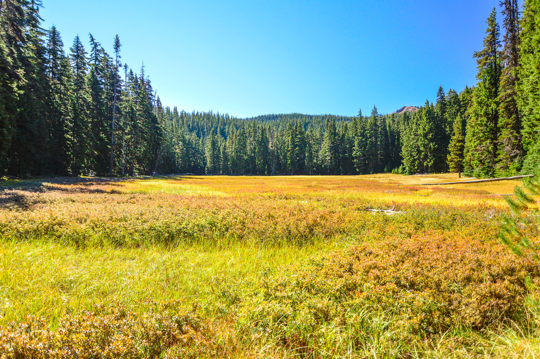
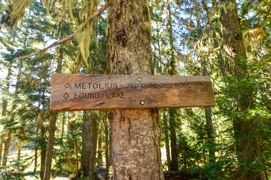
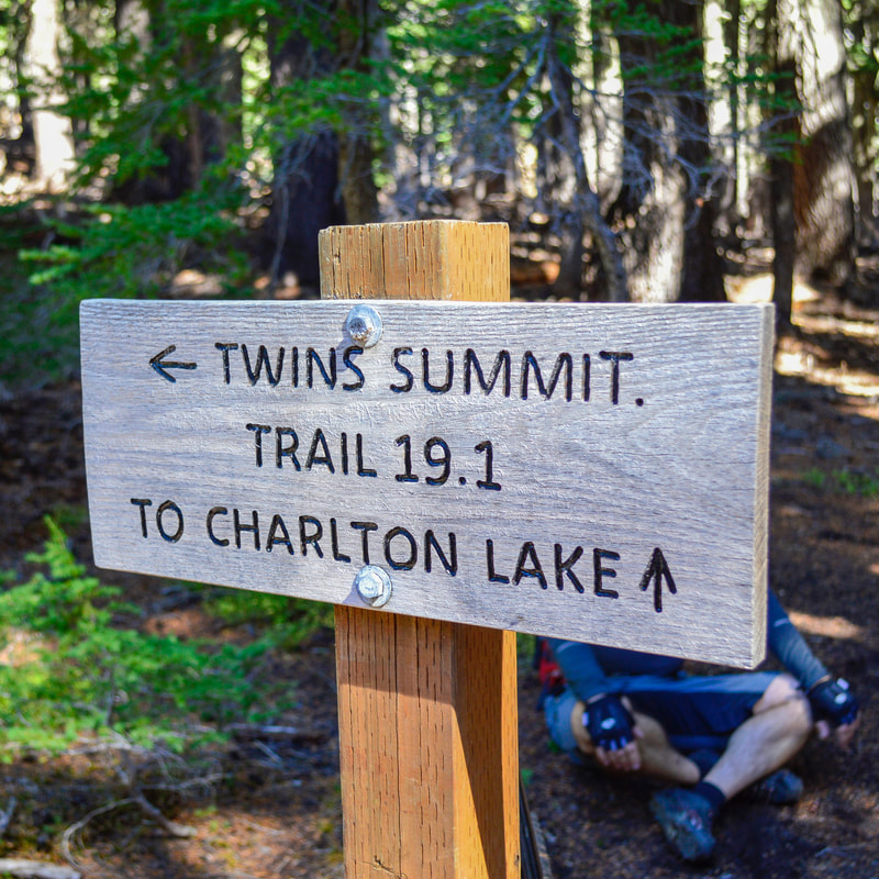
You will pass a beautiful meadow where there are seasonal springs and lots of huckleberry bushes. 0.4 miles after the junction you will see a trail for Found Lake head off to the right. Stay on the Metolious Windigo Trail for only another 0.1 miles to another major junction. The Metolious Windigo Trail heads off to the left and you will go to the right on The Twins Trail #19.1. Up until this point the trail has been very easy going and hasn't gained much elevation, however over the next 2.1 miles, you will gain almost 1,000 feet of elevation.
|
|
(view of Gerdine Butte)
|
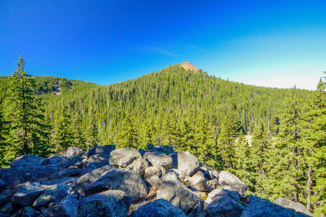
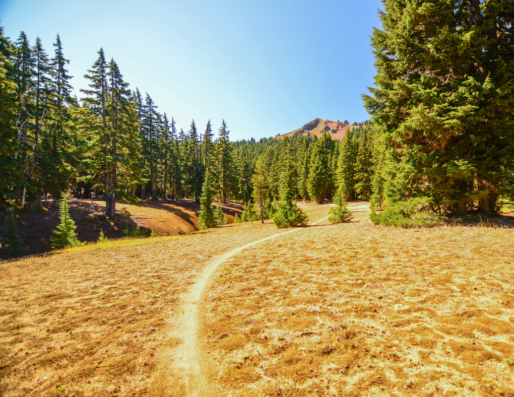
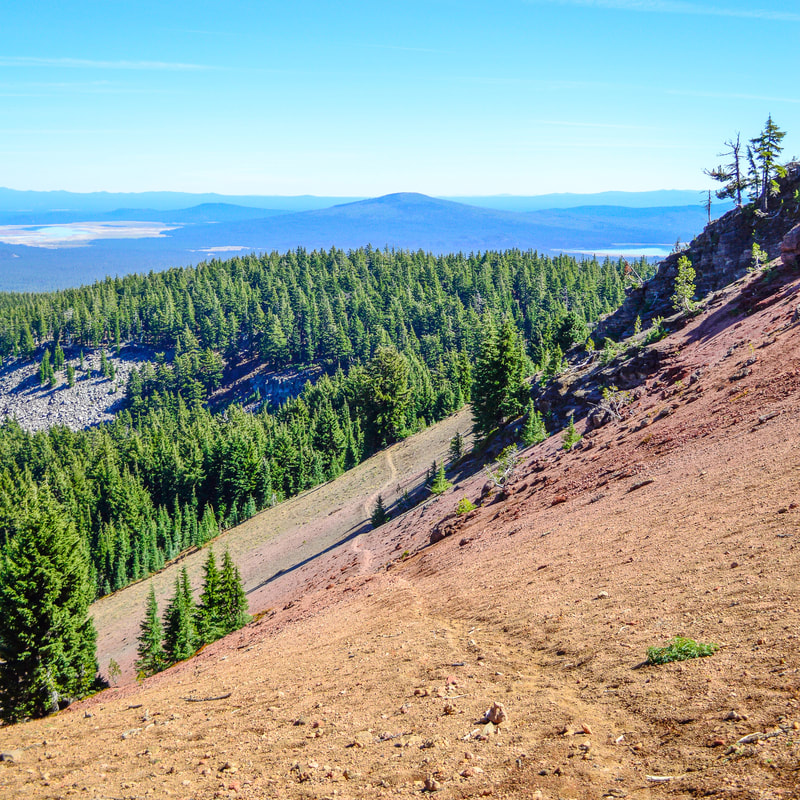
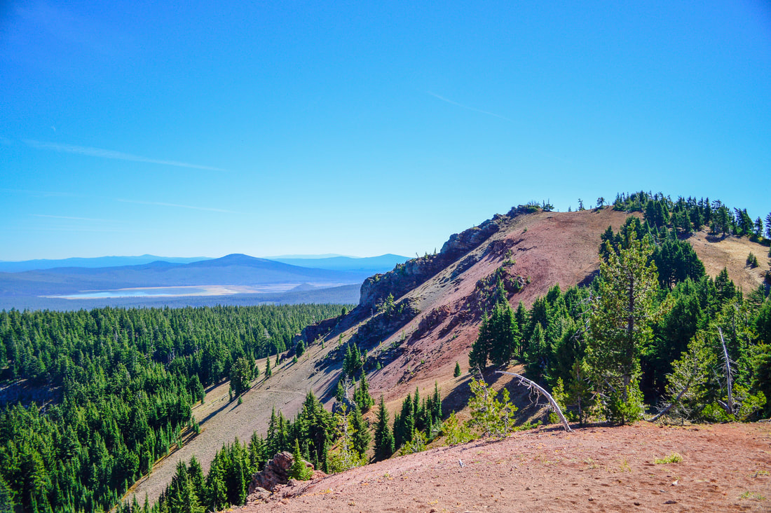
The trail takes you to a little viewpoint where you can see Gerdine Butte, then you dip back into the forest for a bit and then come out at an open meadow where wildflowers bloom in early July. As you walk across the meadow, you will be able to see one of The Twins directly in front of you. Here you will need to keep an eye out for a side trail (there is no sign here) that splits off to the right and goes up the side of one of Twin Peaks. You will see the trail very clearly on the side of the red cinder cone.
Hiking up the side of Twin Peaks is quite steep but just keep reminding yourself that it is only 0.4 miles to the top. The trail takes you up to a saddle that is in between the two peaks, so continue up to the left to get to the true summit. |
|
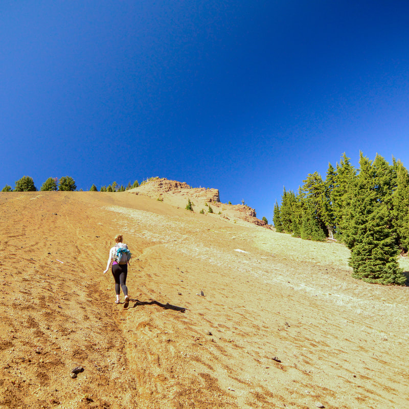
(side trail up to the Twins)
|
|
(Diamond Peak)
|
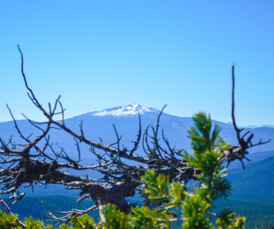
The view from the 7,362 foot summit is absolutely breathtaking! You can see Diamond Peak and Mount Thielsen to the south and looking north you will see Mount Bachelor, Broken Top, South Sister, Middle Sister, North Sister, The Husband, Mount Washington, Three Fingered Jack and Mount Jefferson. On a very clear day you can even see Mount Hood from this spot! The viewpoint is very rocky, so please be careful.
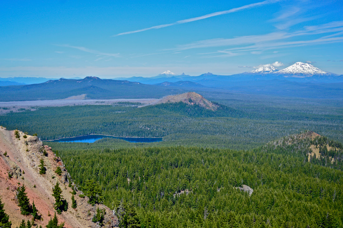
(Mount Jefferson, Three Fingered Jack, Mount Washington, the Three Sisters and Charlton Lake)
(Waldo Lake)
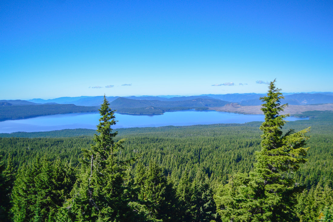
As you turn around and look to the west, you will see massive Waldo Lake sprawled out below and all of the hills and valleys beyond. To complete the loop, you will go back down to the saddle, but instead of going back down the steep trail that you came up, you will go left and stay on the Twin Peaks Trail #3595. After 1.7 miles you will come to a 4-way junction.
(view from the saddle)
At the junction turn right onto the Pacific Crest Trail and head northbound for 4.5 rather monotonous forested miles until you get back to Charlton Lake where you will turn left to get to back to the Charlton Lake Trailhead.
|
|
If you want to hike up to The Twins (aka Twin Peaks) there is a great option for all activity levels. Whether you want the shorter straightforward summit, or you want to do the lake loop and then summit (this would also be a great short backpacking trip option), there is something here for everyone. If you go in early August you will get to munch on some delicious huckleberries along the way, and going in the autumn months will provide solitude on the trails as well as views of snow dusted peaks.
Directions:
From Eugene
- Drive OR-58 east towards Oakridge and Willamette Pass for 58.8 miles. Turn left onto NF-5897 at a sign for Waldo Lake and drive up 6.3 miles to find the trailhead on your right. (Total of 72.7 miles). To get to the Charlton Lake trailhead, continue on Road 5897 for an additional 4.6 miles to a Y split, then stay right on a gravel road for another half mile and park at the Charlton Lake trailhead parking area on your right.
- Drive on US-97 south for 46.9 miles to the town of Crescent. Turn right onto Crescent Rd/Crescent Cutoff Rd. for 12 miles, then turn right onto OR-58 west and stay on this road for 14 miles. Turn right onto NF-5897 at a sign for Waldo Lake and drive up 6.3 miles to find the trailhead on your right. (Total of 79 miles). To get to the Charlton Lake trailhead, continue on Road 5897 for an additional 4.6 miles to a Y split, then stay right on a gravel road for another half mile and park at the Charlton Lake trailhead parking area on your right.
- Take OR-62 east towards Crater Lake for 49.5 miles then take a slight left onto OR-230 north for 23.8 miles. Near Diamond Lake turn right onto OR-138 east for 17.7 miles until it T’s into highway 97. Turn left onto US-97 north for 17.8 miles and then use the left lane to take the exit onto OR-58 west. Stay on OR-58 for 27.1 miles then turn right onto NF-5897 at a sign for Waldo Lake and drive up 6.3 miles to find the trailhead on your right. (Total of 150 miles). To get to the Charlton Lake trailhead, continue on Road 5897 for an additional 4.6 miles to a Y split, then stay right on a gravel road for another half mile and park at the Charlton Lake trailhead parking area on your right.
- Total of 134 miles via Eugene.
- Total of 177 miles via Eugene.
*All pictures are taken by Franziska Weinheimer
*Disclaimer: The trail descriptions, mileage, GPS tracks and difficulty ratings depicted on this website are never 100% accurate. Always hike at your own risk, using your own knowledge, equipment and common sense. Franziska Weinheimer/Hike Oregon are not responsible if you or anyone in your party gets injured or lost while attempting one of these or any other hikes.