Pacific Crest Trail
California/Oregon border to Callahan's Lodge/Ashland
Hike details:
PCT Section: CA section R - PCT mile 1692.7 to 1718.7
Mileage: 26 miles from point to point
Campsites: 5
Water sources: 6 seasonal, 4 reliable
Resupply points: Callahan's Lodge
Side trip opportunities: 1 (Siskiyou Peak)
Highest elevation: 7,082 ft. Lowest elevation: 3,926 ft.
Accessible: End of June through mid-November
(Best time to go is early to mid-July when the wildflowers near Mount Ashland are in full bloom).
Permits required: N/A
|
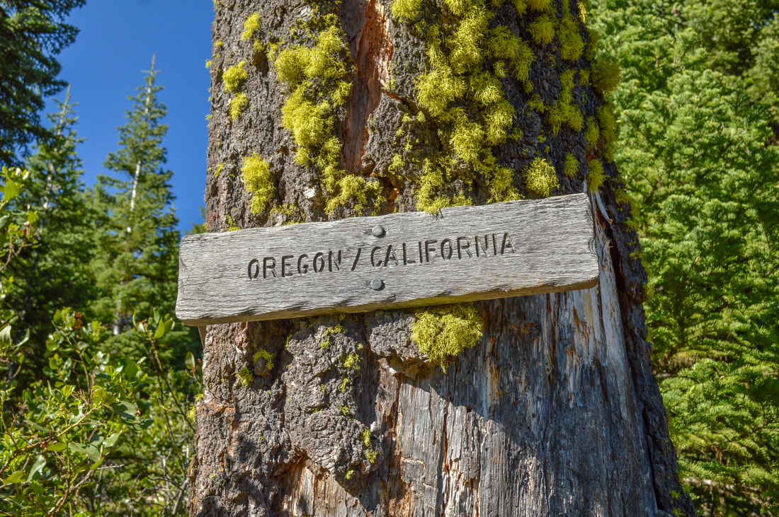
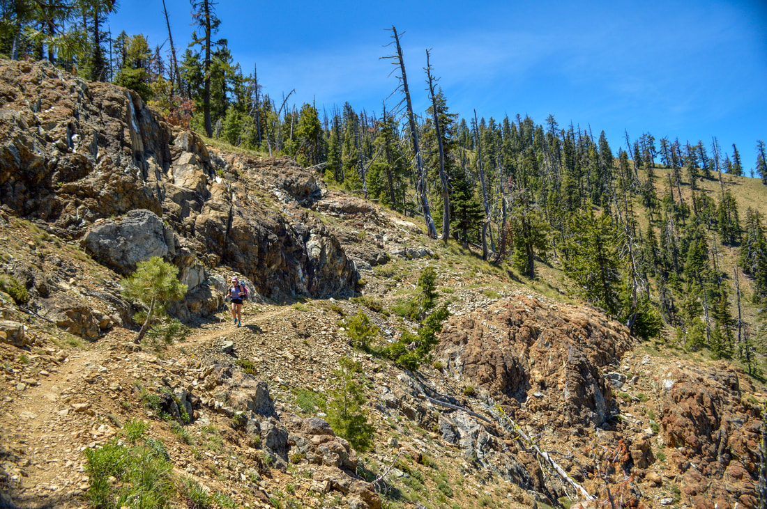
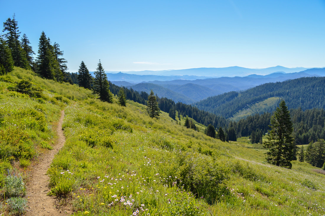
Description:If you drove all the way to this remote PCT trailhead, you should definitely hike the 0.3 miles southbound so you can see the California/Oregon border sign and sign the hiker book that they have there. It's definitely worth it. 1.5 miles from the trailhead at mile 1694.5 there is a beautiful campsite with a beautiful view (see picture), there is room for about 4-5 tents. There is a seasonal stream near the campsite but it typically runs dry by early to mid-June already.
|
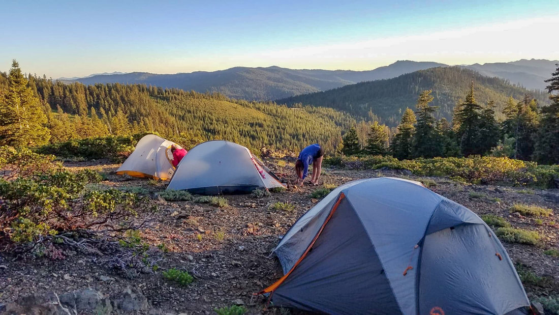
(campsite at mile 1694.5)
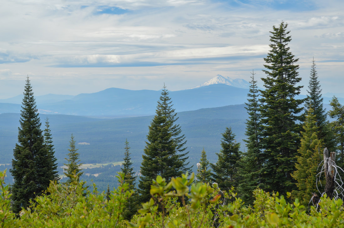
(view of Mount Shasta from Sheep Camp Spring)
At mile 1697.1 you will find Sheep Camp Spring, which is a great piped spring that makes getting water very easy. The view south towards Mount Shasta is beautiful and there are a few small spots for camping down near the trees. There is another reliable water source just 1 mile from here, but the pipe makes this the better place to get water. At mile 1699.3 there is the PCT Wrangle Gap Trailhead, which is much easier to drive to than the CA/OR border trailhead, so if you are considering doing this section but want to skip the tedious drive, you can start from Wrangle Gap.
|
|
|
|
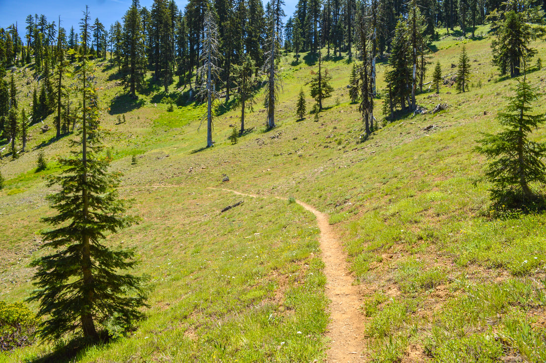
From Wrangle Gap, the trail goes around the north side of Big Red Mountain as you walk through open meadows. As you come back around the mountain to the crest, you will have views to the south again where you will see rolling hills, gorgeous lush meadows and snowcapped Mount Shasta. At mile 1703.6 there is a campsite with room for about 6 tents (no views).
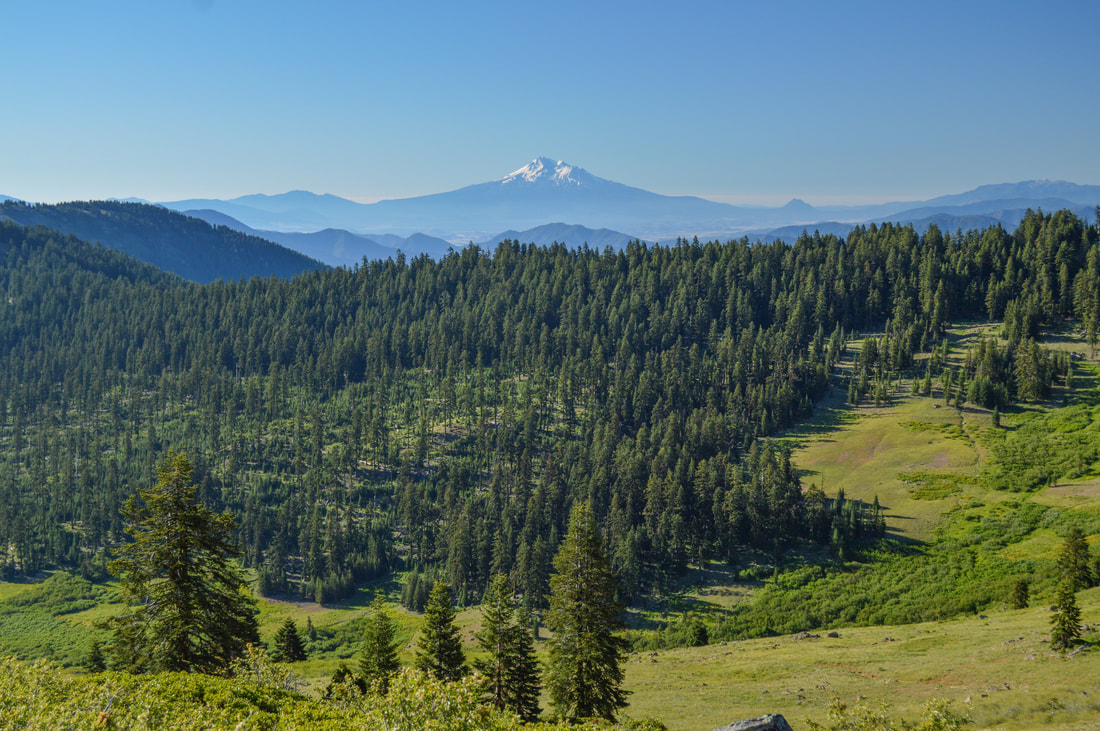
(view of Mount Shasta)
At mile 1704.9 there is another seasonal stream with a few campsites nearby that are also in the trees. At mile 1705.7 you are still hiking through the forest and you will see 2-3 campsites on your right. They aren't super flat and they are located in a really dry forest. You will be dry camping at this site. At mile 1706.9 you will see the trail to Siskiyou Peak on your right. This is a side excursion that is just 0.6 miles round trip and will take you to the summit of 7,147-foot tall Siskiyou Peak, a great viewpoint.
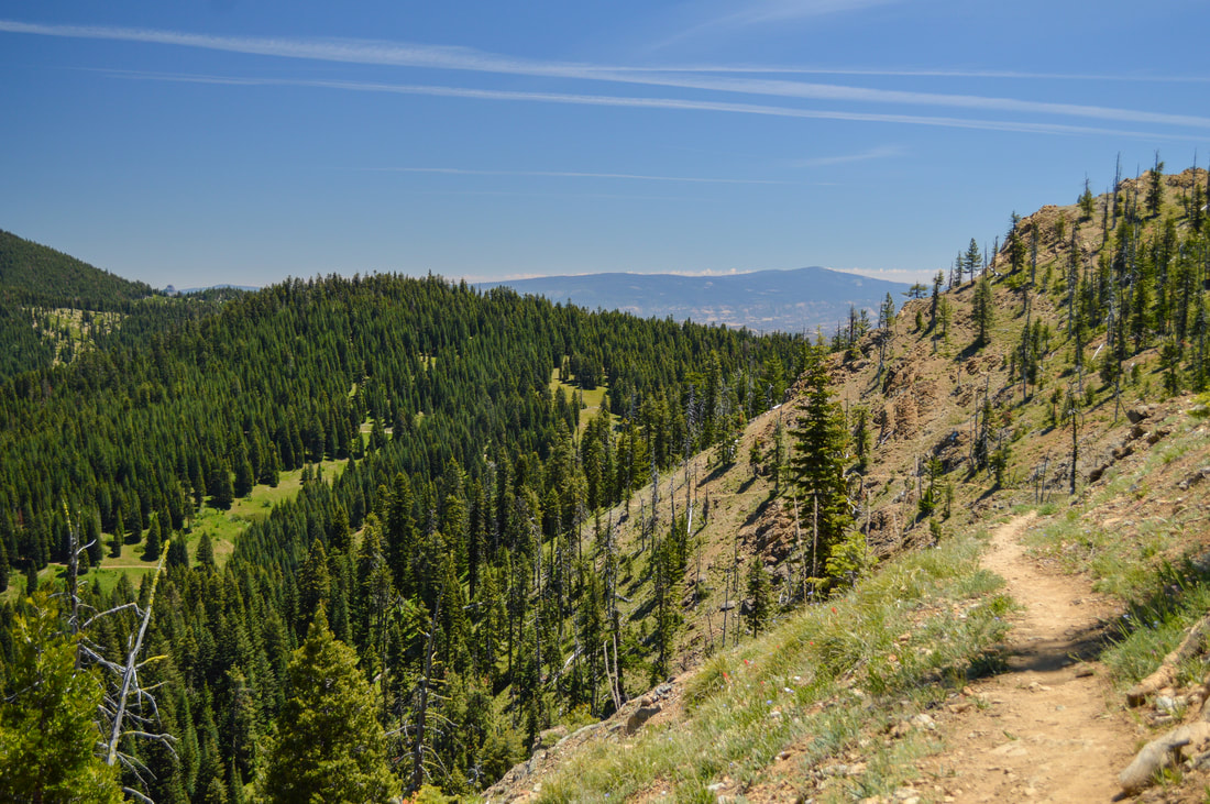
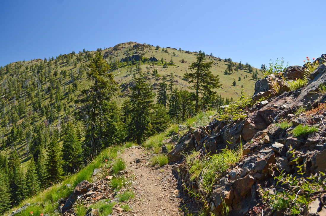
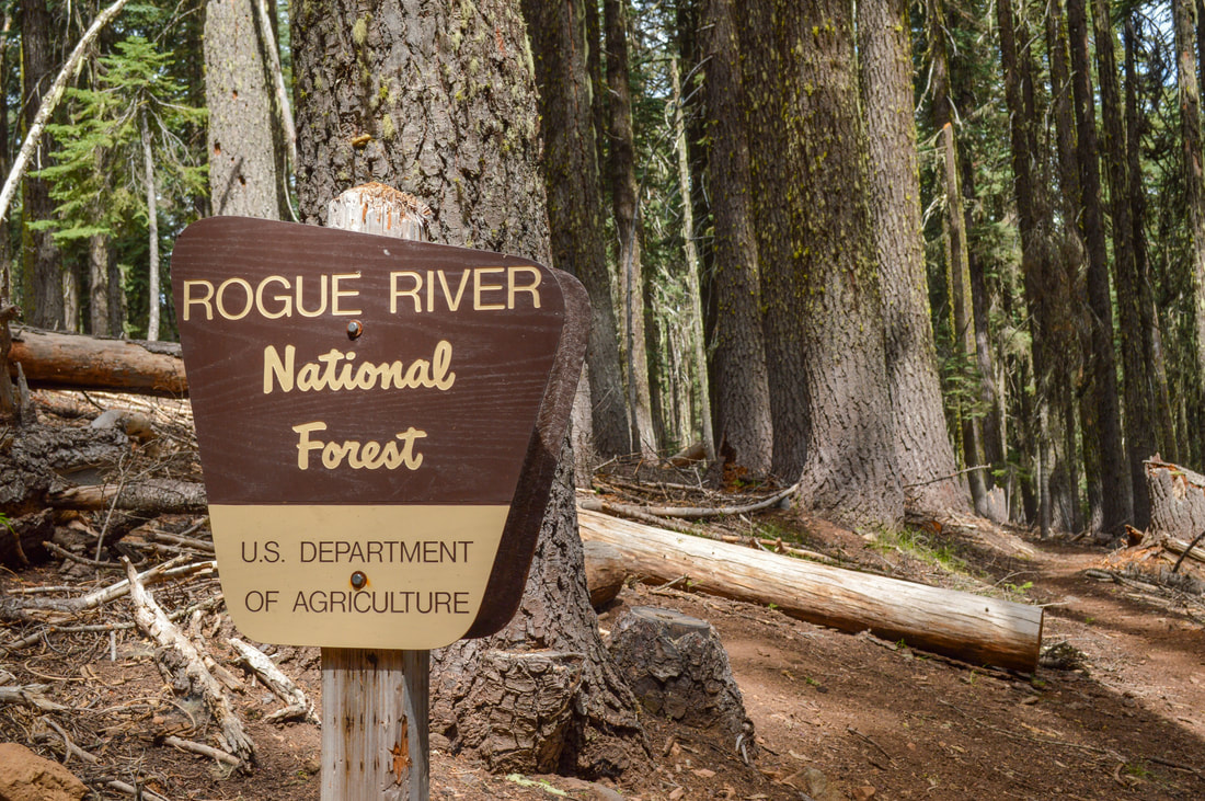
At mile 1709.2 you will come to the PCT Grouse Gap Trailhead where just down the dirt road is Grouse Gap Shelter, a good place for hikers to camp. From here the trail takes you along the side of epic open meadows with expansive views and you can see Mount Ashland in the distance. At mile 1709.7 there is a reliable stream and at 1710.0 there is a seasonal stream that generally has water until about August. At mile 1712.6 you will cross the Mt. Ashland Ski Road where you will see a very large PCT sign and you will enter the Rogue River-Siskiyou National Forest.
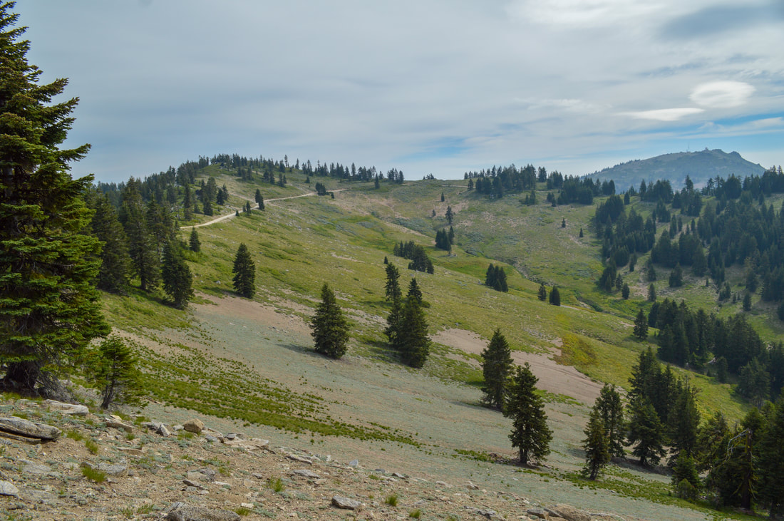
(trail view near Grouse Gap)
|
|
From here the trail gets much less interesting as you make your way from the crest down into the valley towards Ashland. At mile 1713.5 there is a small campsite with room for 1-2 tents and just down the way at mile 1714.3 there is a water faucet and a picnic table. The trail appears to go through someone's front yard, this used to be the Mt. Ashland Inn. At mile 1718.7 you will see the turn off to go to Callahan's Mountain Lodge. The trek to the lodge is 0.7 miles. They are incredibly PCT hiker accommodating. You can send your resupply packages there, they offer a hiker dinner, there are showers and laundry (you do have to pay) and they let you set up your tent on their back lawn.
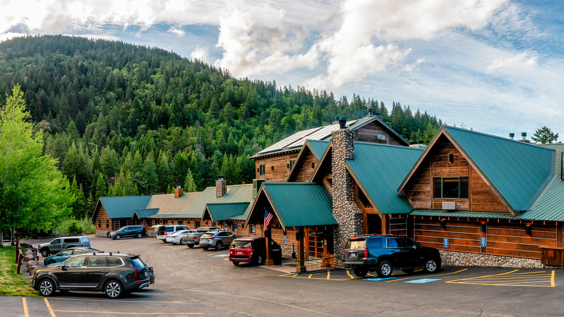
(photo courtesy of Callahan's Mountain Lodge)
Directions:
From Medford to the CA/OR border PCT trailhead
- Drive on OR-238 W for a total of 1.5 miles, then turn right to stay on OR-238 W/E California St. for another 7.8 miles. Turn left onto Upper Applegate Rd. for 2.8 miles, then turn left onto Little Applegate Rd. for 6.3 miles. Turn right onto Yale Creek Rd. for 1.2 miles, then turn left to stay on Yale Creek Rd. for another 2.2 miles. Turn right onto 40-2-3.4 for 1.8 miles, then turn left onto 854 for 1.1 miles. Turn left onto 850 for 0.2 miles, then turn left onto Beaver Creek Rd./NF-20 for 3.1 miles. Turn right to stay on Beaver Creek Rd./NF-20 for 2 miles, then at a 5-way intersection take NF-2025 for 4.1 miles (not the road straight ahead of you and not the road to the left but the one in between). (Total of 37 miles)